Bus Stops
We’re pulling out all the stops – so you can find the one that’s just right.
Plan Your Trip

Transit App
Download “Transit” and travel like a true Charlestonian.
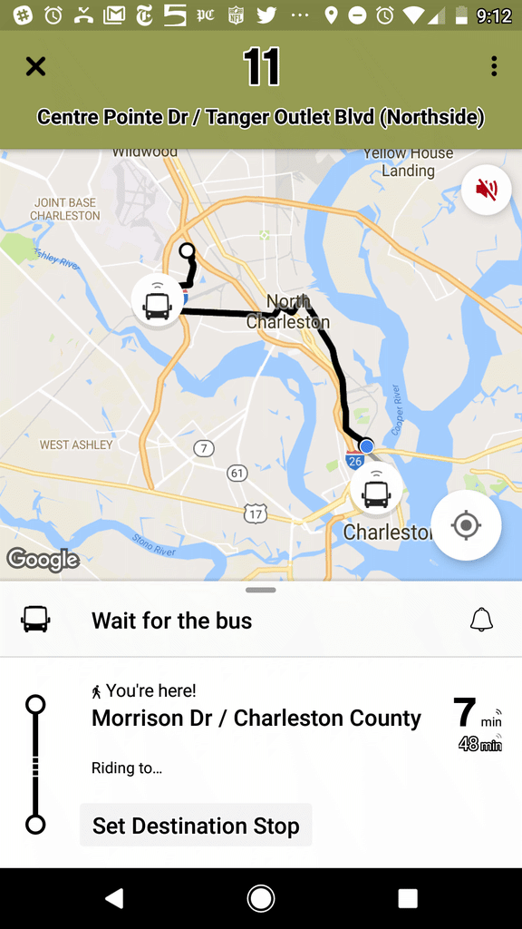
Available in the App Store and on Google Play, “Transit” offers numerous features to help you easily navigate around Charleston.
Bus Route: See vehicle locations in real time, find nearby stops, and receive stop announcements.
Service Alerts: Keep on top of schedule changes, stop relocations and other unexpected surprises.
Favorites: Always take the same bus? Move it to the top of the list by adding it to your favorites.
Timetables: View the full schedule for a route and set alarms to remind you to leave.
Countdowns: Get real-time predictions based on data from the transit agency.
“Go”: Get step-by-step transit directions and notifications about when to leave for your trip and when to get off the bus.
Plan a trip!: Compare trips side by side with your preferred transport modes selected.