CARTA is resuming service, as possible, at noon on Saturday, Jan. 6. Below are current service impacts, which are subject to change. Expect delays.
Route 10: Patches of ice leading to Health South. Stop at Health South is a solid sheet of ice. Buses will proceed at 5-to-10 miles an hour.
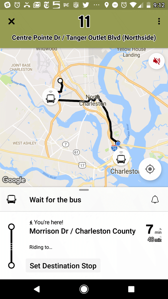
Route 11: Buses take Rivers Avenue to Clement Street to Spruill Avenue.
Route 12: Currently unable to run. Sheets of ice from Ashley Phosphate Road to Foxwood Drive (near Air Force base). Ashley Phosphate from Patriot Boulevard to Windsor Hill Boulevard is also a sheet of ice.
Route 13: Reynolds Aveue. to McMillan Avenue. Buses will proceed at 5-to-10 miles an hour.
Route 20: Can travel straight along King Street to Broad Street.
Route 31: Riverland Terrace will not be serviced. Buses will take Maybank Highway to Riverland Drive.
Route 40: Ice in patches on Johnnie Dodds frontage roads. Buses will proceed at 5-to-10 miles an hour on frontage roads.
Route 42: Hungry Neck to the IOP connector includes sheets of ice. Buses will proceed at 5-to-10 miles be hours.
Route 104: Park Circle is a sheet of ice. Buses will proceed at 5-to-10 miles an hour.
Route 301: Henry Tecklenburg Drive leg is a no-go. 301 will take Savage Road back to Savannah Highway, to Paul Cantrell Boulevard (which becomes Glen McConnell).
DOWNTOWN
Service determinations are still being made due to hazardous conditions:
- Mary Street Hub: Sheet of ice.
- Meeting Street at Columbus Street is closed.
- John Street is a sheet of ice.
- Spring Street from King Street to Meeting Street is a sheet of ice.
ADDITIONAL NOTES:
As of now, the Route 13/104, Route 12, and Route 42 we will have to travel very slowly to perform route. Portions – or most of – these three routes remain sheets of ice.