CHARLESTON, S.C. (JUNE 12, 2019) – The Charleston Area Regional Transportation Authority (CARTA) is encouraging Lowcountry residents to try public transit — at least for one day. Those who do and post about it on social media could win prizes, including a new bike from local shop Affordabike. (more…)
Seniors Can Ride CARTA, Tricounty Link for Free on May 29th
THE LATEST INSTALLMENT OF THE SYSTEMS’ SENIOR SERIES
Individuals over the age of 55 will be able to access Charleston Area Regional Transportation Authority (CARTA) and TriCounty Link services for free on Wednesday, May 29,2019, which is also National Senior Health and Fitness Day. The perk is part of both systems’ quarterly Senior Series, which encourages seniors to ride transit free of charge. (more…)
CARTA Moving Forward With Fare, Pass Improvements
NORTH CHARLESTON, S.C. (May 15, 2019) – Today, the Charleston Area Regional Transportation Authority (CARTA) Board of Directors approved moving forward with the following items:
- Expansion of Senior Fares ($1 per ride) to all operating hours (previously available between 9 a.m. and 3 p.m.)
- Elimination of transfer fees (currently 50 cents)
- Establishment of weekly unlimited regular passes ($15) and Express passes ($25) (currently available on a monthly basis)
CARTA staff will now revise official policies and complete required authorizations to put the changes in place for approval at the July CARTA board meeting.
“The steps taken today will directly benefit a large portion of our ridership by easing strain on wallets and reducing barriers to mobility,” said CARTA Board of Directors Chairman Mike Seekings. “The board is focused on continuing to develop a system that works hard for riders in a convenient and cost-efficient manner, and our work to this point has placed us in a position to make constructive decisions like this.”
The CARTA board noted the involvement of the Charleston Area Justice Ministry in bringing forward the changes for consideration.
HOP Lot Changes Effective Monday May 20, 2019
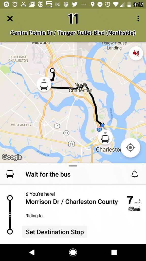
Beginning Monday, May 20, HOP parking lot operations will take place on Charleston County-owned property at 995 Morrison Drive. Twenty-five parking additional parking spaces will be made available adjacent to the current 34 HOP spaces on the south side of Conroy Street
The move was necessitated by the kickoff of a large construction project at 999 Morrison Drive, where a majority of HOP parking inventory is currently located. HOP service will continue every 15 minutes and the pickup location on Conroy Street will remain the same. CARTA supervisors will be on hand on Monday to direct HOP users to the new parking spaces.
Summary of changes:
- Effective Monday, 05/20/19 all HOP related parking should be in the HOP parking lot located on the south side of Conroy Street (HOP lot 2).
- The stop/shelter on Conroy Street will now be the only stop at the HOP Park and Ride lot.
- Services will continue to run every 15 minutes as currently scheduled.
- Changes will not impact service.
Call customer service at 843-724-7420 (select menu option 1) for any questions.
Rolling In The Right Direction – 2018 Investments
CARTA is funded through a combination of local, state and federal sources, in addition to fare and advertising revenue. As a BCDCOG program, we have created a strategic plan to make public transit a success in the Lowcountry. We are working to improve our system, including rider services and amenities. Below are the purchases for CARTA projects and improvements made in 2018.
May 5th Route Changes (Rt. 13 and Rt. 31)
On Sunday, May 5, 2019 CARTA will make modifications to Route 13 Remount Rd. and Route 31 Folly Rd. to increase efficiency.
Route 13 Remount Road
- Daily timepoints are adjusted to improve efficiency. Passengers should review the full schedule to view changes and impacts to their daily commute.
- The route will now service Casper Padgett Way on the inbound trip.
- Click Route 13 Remount Road_050519 to view the new schedule.
Route 31 Folly Road
- The schedule is modified to better accommodate for increased traffic and observed traffic conditions in the area. Passengers should review the full schedule to view changes and impacts to their daily commute.
- Click Route 31 Folly Road_050519 to view the new schedule.
A summary of changes the routes schedules can also be found at ridecarta.com/2019RouteChanges.
School Students Can Now Ride CARTA for Free
SCHOOL STUDENTS CAN NOW RIDE CARTA FOR FREE
FREE FARE PROGRAM INTRODUCES LOWCOUNTRY YOUTH TO TRANSIT
The Charleston Area Regional Transportation Authority (CARTA) has launched a new Free Student Fare pilot program that allows students in the system’s service area ages 6 and older to ride CARTA for free. The new program is available to both public and private school students and applies to all CARTA services.
“The Free Student Fare pilot program is a win-win and accomplishes several important things,” said CARTA Board of Directors Chairman Mike Seekings. “First, it familiarizes a new generation with transit in the Lowcountry. Second, it reduces barriers to mobility for students who may otherwise have no transportation. After-school jobs, the public library and opportunities for recreation are all now within reach at no cost. Finally, riding the bus is a safer option than putting teens behind the wheel on our congested highways.”
The program is currently slated to run through August on a pilot basis and will be monitored for possible extension. Students will not be required to show ID in order to board at this time.
CARTA buses can be tracked in real time by downloading the Transit App. Trips can be planned and details on CARTA routes and services can be found at RideCARTA.com. Questions regarding the program should be directed to CARTA marketing and communications manager Michelle Emerson, who can be reached at memerson@bcdcog.com or (843) 529-0333.
2019 Bridge Run Service Impacts
CARTA Airport Express Route 4 Services (Public Transit)
- Airport Express Rt. 4 will be running normal route service and will be available and accessible for Bridge Runners to travel from Downtown Charleston Meeting Street at bus stop # 461 to the Expo in North Charleston to pick up race packets.
- The bus stop at the Downtown Visitor Center has changed. The stop is no longer located in the Visitor Center bus shed. Passengers will now use the bus stop located on Meeting Street across from the Charleston Museum (Stop #461).
Route Service Thursday April 4th & Friday April 5th
On Thursday, April 4th and Friday April 5th due to Bridge Run traffic combined with the Volvo Car Open and Flowertown Festival visitors; expect possible delays due to anticipated high volumes of traffic.
All buses including Express buses will be running on regular schedule but will be affected by the high volumes of traffic.
Any extreme delays may affect the Bus Tracker and Text or Call for Next Bus functions. Please call customer service for route information if your route is severely delayed at 843-724-7420.
Route Service Day of Bridge Run – Saturday April 6, 2019
On Saturday, April 6, 2019 all routes that travel into the downtown area will be affected by road closures, detours and high volumes of traffic, expect possible delays.
- DASH route 211 will not start until the race is completed. DASH 210 and 213 will run on a detour.
- Routes 4, 7, 10, 11, 20, 30, 31, 33, 40, and 41 will all have detours. Click CARTA 2019 Bridge Run Service Impacts to view all detours and stops that will be missed during the detours along with alternate stops to use until service returns to regular service after the streets are reopened.
Mt. Pleasant Service:
In order to be as efficient as possible to transport our passengers around Mt. Pleasant and to Downtown while the bridge is closed during the Bridge Run, Routes 40 and 41 will run as follows on Saturday morning 4/6/19:
- 40 has three vehicles dedicated to it. One bus will circulate only in the Mt. Pleasant area. Using Towne Center as a transfer point, passengers can transfer to the other two Rt. 40 buses that will travel back and forth to the Downtown area via I526 until the completion of the race.
- 41 will run only in Mt. Pleasant on a detour until the race is completed. It will also stop at Towne Center as a transfer point to the Rt. 40 that will be traveling downtown.
Expect some delays on these routes until the bridge has reopened and service returns to normal.
Click CARTA 2019 Bridge Run Service Impacts to view detours and missing stops for Saturday service
Bus Tracker and Text or Call for Next Bus features:
Saturday morning and early afternoon the Bus Tracker and Text or Call for next bus features will not be working for impacted routes that will be detouring including:
- DASH routes 210,211,213
- Routes 4, 7, 10,11,20,30,31,33, 40,41
The functions should return to normal after routes get back on regular schedule when all streets are reopened at the conclusion of the race.
Service Alert – Route 210 Detours Effective Tuesday, 03/19/19
Please click here to view detour information.
CARTA Breaks Ground on First Permanent Park-and-Ride Lot
FOUR-ACRE FACILITY ON RIVERS AVENUE TO FEATURE BATHROOMS, BIKE RACKS, LIGHTING, FENCING AND MORE
NORTH CHARLESTON, SC (March 6, 2019) – Today, the Charleston Area Regional Transportation Authority (CARTA) broke ground on a new four-acre Rivers Avenue park-and-ride lot in North Charleston.
The lot, technically located on Melnick Drive next to Texas Roadhouse, will feature 289 parking spaces, bathrooms, and bike racks. It will be fenced, lighted and monitored by cameras. It’s the first dedicated lot owned by the transit authority and the Berkeley-Charleston-Dorchester Council of Governments, which has managed CARTA since 2015.
“This is the region’s first true, permanent park-and-ride facility, and it’s another step forward for transit and alternative modes of transportation,” said CARTA board chairman Mike Seekings. “It’s going to be safe, clean and offer amenities that will please our longtime riders and hopefully attract many new ones.”
The current park-and-ride area, in a nearby shared lot, hosts hundreds of commuter vehicles daily. The bulk of passengers are MUSC and College of Charleston employees and students, in addition to other riders who work on the peninsula.
The lot is served by CARTA routes Express 1, Route 10 – the system’s busiest route – and Route 12 Upper Dorchester/Ashley Phosphate Road. TriCounty Link routes Commuter Solutions 1, Commuter Solutions 2 and B102 also service the lot.
Seekings also noted that the lot is available to carpool and vanpool riders. There is no cost to park.
The Rivers Avenue park-and-ride launched in 2007 and is the busiest of the system’s seven park-and-ride locations, which include two shared lots in Mount Pleasant, Summerville, West Ashley, James Island and another in North Charleston at Festival Centre.
“North Charleston is often on the forefront of transit and transportation in the region, and we’re happy to be home to the region’s first dedicated park-and-ride facility,” said North Charleston Mayor Keith Summey at today’s groundbreaking.
BCDCOG recently concluded a regional park-and-ride study that identified and conceptualized 22 new or “enhanced” permanent park-and-ride sites as part of the 10-year-plan.